Text this colour is a link for Members only. Support us by becoming a Member for only £3 a month by joining our 'Buy Me A Coffee page'; Membership gives you access to all content and removes ads.
Text this colour links to Pages. Text this colour links to Family Trees. Place the mouse over images to see a larger image. Click on paintings to see the painter's Biography Page. Mouse over links for a preview. Move the mouse off the painting or link to close the popup.
All About History Books
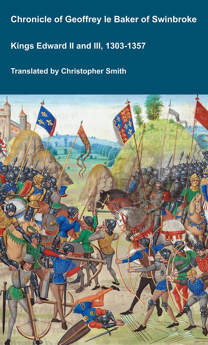
The Chronicle of Geoffrey le Baker of Swinbroke. Baker was a secular clerk from Swinbroke, now Swinbrook, an Oxfordshire village two miles east of Burford. His Chronicle describes the events of the period 1303-1356: Gaveston, Bannockburn, Boroughbridge, the murder of King Edward II, the Scottish Wars, Sluys, Crécy, the Black Death, Winchelsea and Poitiers. To quote Herbert Bruce 'it possesses a vigorous and characteristic style, and its value for particular events between 1303 and 1356 has been recognised by its editor and by subsequent writers'. The book provides remarkable detail about the events it describes. Baker's text has been augmented with hundreds of notes, including extracts from other contemporary chronicles, such as the Annales Londonienses, Annales Paulini, Murimuth, Lanercost, Avesbury, Guisborough and Froissart to enrich the reader's understanding. The translation takes as its source the 'Chronicon Galfridi le Baker de Swynebroke' published in 1889, edited by Edward Maunde Thompson. Available at Amazon in eBook and Paperback.
Long Barrows of the Cotswolds is in Prehistory.
The Long Barrows of the Cotswolds. A Description of Long Barrows, Stone Circles and other Megalithic Remains in the area covered by Sheet 8 of the Quarter-inch Ordnance Survey comprising the Cotswolds and the Welsh Marches By O. G. S. Crawford (age 38), B.A., F.S.A. Archæology Officer, Ordnance Survey. Published by John Bellows, Gloucester, 1925.
Books, Prehistory, Long Barrows of the Cotswolds, Section 2 Long Barrows
Books, Prehistory, Long Barrows of the Cotswolds, Section 4 Mound, Standing Stones and Other Objects
Books, Prehistory, Long Barrows of the Cotswolds, Section 4 Mound, Section 4.5 Monmouthshire ![]()
Books, Prehistory, Long Barrows of the Cotswolds, Section 4 Mound, Section 4.5 Monmouthshire, Section 4.5 Trellech Harold's Stones
Harold's Stones, Trellech [Map]
Monmouthshire, 20 N.E. Parish of Trelleck. 114.
Latitude 51° 44' 32". Longitude 2° 43' 31". Height above O.D. about 670 feet.
Mr. J. G. Wood, M.A., F.S.A., points out that these three stones cannot possibly be the remains of a circle, as suggested by Mrs. Bagnal-Oakeley, since the diameter would be 672 feet, far greater than that of the Keswick Circle, and quite impossible here on account of the nature of the ground. With reference to the name "Harold's Stones" Mr. Wood remarks:— "A stone such as these was called Har-stan, which means old or hoary. Hence Dr. Grifiin (that first class guesser) probably invented 'Harold's Stones.'"
A plan (reproduced here) elevation and sketch of the stones is amongst the Lukis MSS. in the Lukis Museum, Guernsey. From these it appears that they are oriented in a direction 72 degrees E. of true north. The S.W. stone leans considerably and is eleven feet high. The middle stone is 9 ft. 11 ins. high. The N.E. stone is 8 ft. 3 ins. high. The original drawing is by Sir Henry Dryden, and is dated July 6th, 1841, There are also two copies. The purpose of these short alignments of huge uprights is obscure. Comparisons are suggested with the "Five Kings," near Rothbury, Northumberland, and the "Devil's Arrows" near Boroughbridge, Yorks.
Rude Stone Monuments in Monmouthshire, by M. E. Bagnall-Oakeley, 1889, pp. 13-15. Plates V. (view) and VI. (plan),
Lukis Collection (MSS), Lukis Museum, Guernsey.


![]() Become a Member via our 'Buy Me a Coffee' page to read complete text.
Become a Member via our 'Buy Me a Coffee' page to read complete text.