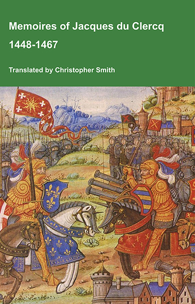
This is a translation of the 'Memoires of Jacques du Clercq', published in 1823 in two volumes, edited by Frederic, Baron de Reissenberg. In his introduction Reissenberg writes: 'Jacques du Clercq tells us that he was born in 1424, and that he was a licentiate in law and a counsellor to Philip the Good, Duke of Burgundy, in the castellany of Douai, Lille, and Orchies. It appears that he established his residence at Arras. In 1446, he married the daughter of Baldwin de la Lacherie, a gentleman who lived in Lille. We read in the fifth book of his Memoirs that his father, also named Jacques du Clercq, had married a lady of the Le Camelin family, from Compiègne. His ancestors, always attached to the counts of Flanders, had constantly served them, whether in their councils or in their armies.' The Memoires cover a period of nineteen years beginning in in 1448, ending in in 1467. It appears that the author had intended to extend the Memoirs beyond that date; no doubt illness or death prevented him from carrying out this plan. As Reissenberg writes the 'merit of this work lies in the simplicity of its narrative, in its tone of good faith, and in a certain air of frankness which naturally wins the reader’s confidence.' Du Clercq ranges from events of national and international importance, including events of the Wars of the Roses in England, to simple, everyday local events such as marriages, robberies, murders, trials and deaths, including that of his own father in Book 5; one of his last entries.
Available at Amazon in eBook and Paperback format.
Swansea Scientific Society is in Prehistory.
CEFN BRYN
Col. Morgan and Mr. Glascodine Make A Discovery.
So much has been said and written about Arthur's Stone [Map], that stands sentinel like on the lonely top of Cefn Bryn, and so many antiquarians have speculated upon its origin and history, that one was apt to look upon the excursion, on August 29th, of the Swansea Scientific Society as a pleasure- able rather than investigative one. A happy discovery on the part of Col. Morgan and Mr. C. H. Glascodine made it both. The members of the Society left the Royal Institution of South Wales at 2 o'clock in coaches supplied by Mr. J. H. Rosser.
Instead of driving straight across the Fairwood Common and through Parkmill, the party took the road traversing Pengwern Common, and crossing Cefn Bryn from the northern side, by a rough track which clearly shows the geological formation of the neighbourhood: old red sandstone. Leaving the brakes on the summit, Col. Morgan led the way across the furze bushes and ant-hills, to Arthur's Stone. Of course, everyone speculated on the history of the old heap of conglomerate or pudding-stone, and endeavoured to beat sermons out of stones whose origin will never be settled to the satisfaction of everyone. The generally accepted idea was that the stone became deposited during the Ice Age, and that the primitive inhabitants of Gower must have scooped out the earth from underneath and inserted the pedestals upon which it now rests. Obviously they could not lift it by any human agency. To say that the stone perched on these pedestals of its own accord would be as absurd as the story that when the chanticleer gives his matin performance, the boulder goes to the Burry river to drink! Col. Morgan, who, with Mr. C. H. Glascodine, is quite a successful explorer of archaeological and mythological regions, has actually made a discovery in connection with Arthur's Stone. Geologists and antiquarians, who, for decades past, have examined this stone and started the most extravagant notions as to its origin and purpose, have neglected, or have entirely failed, to notice that wedges, of a stone different in character to the conglomerate, are placed against the huge mass and two of the pedestals. The two gentlemen named only a little time ago, first noticed these wedges, so that the visit of the S.S.S. was not altogether void of results. So far, however, the discovery offers no new aspect as to the origin of the stone. Still, it would be interesting to know what effect the removal of the wedges, and, possibly, one of the pedestals, and the replacing of the broken-off portion, would have upon the main boulder. If it would then be liable to rock it would come under the description of Login stones, which in ancient times were used for purposes of divination: the larguage being favourable or otherwise, according to the number of vibrations. But this is more mythology and more superstition, and the poor old stone has got sufficient to answer for in this respect already.
Mr. W. Terrill, F.C.S, was to have read a paper on the geology of the district, but unfortunately, he was unable to be present.
Mr. C. H. Glascodine, who, with the Misses Simons, of Horton, met the remainder of the party at the stone, read the following paper:—
![]() Become a Member via our Buy Me a Coffee page to read more.
Become a Member via our Buy Me a Coffee page to read more.
PAPER BY MR. C. H. GLASCODINE.
The late Sir Gardner Wilkinson, the great Egyptologist, lived during the later years of his life at Brynfield, in Reynoldstone, on the western slope of Cefn Bryn, and had therefore great opportunities of visiting and observing the antiquities on the hill. He wrote a paper entitled "The Avenue and Cairns about Arthur's Stone in Gower, which was published in the Archaeologia Cambrensis for 1870, pages 23 [see Archaeologia Cambrensis 1870 Page 23] and 117. I wish to acknowledge my obligations to that paper for much of the information contained in this, though I am unable to agree with all Sir Gardner Wilkinson's views.
Cefn Bryn, "back of the hill," is a line of hills stretching across the peninsula of Gower, in the direction of S.E. and N.W. It reaches near the southern end the height of 610 feet. (Rhosily Down to the west attains that of 632 feet.) It seems to be a continuation of the high ground which, on the north side of the estuary of the Loughor, reaches down to the sea at Pembrey, enclosing the South Wales coal field on the west.
On the southern end of Cefn Bryn are two or three cairns, which do not present any special feature of interest. One is due, at least in its present form, to the Ordnance Survey, or modern hands. Walking northward along the summit of Cefn Bryn, one walks upon a beautiful turf road, without stones or fern. This is said to be due to Mr. Talbot, the father of the late Mr. Talbot, M.P., who cleared it, for a riding ground for his daughters, in the early years of this century.
Near the northern end of Cefn Bryn is a spur of the hill striking out in a N. or N.E. direction. The road follows it and takes us to the point of greatest interest—Arthur's Stone, which is on the northern brow of this part of the hill, and is so placed that although on the spot it appears to be far from the southern and close to the northern shore, yet on the map of Gower it is almost the central point of the Peninsula.
What this stone may be, geologically speaking, is not within the province of this paper. To the archaeologist, however, it is interesting as being the immense capstone of a cromlech, still resting upon its supporting stones. Its dimensions, carefully taken, are as follows: Greatest length, 13 feet 4 inches; greatest breadth, 6 feet 8 inches; greatest height, 7 feet 5 inches. It is an irregular mass, varying in every dimension.
But it was once much larger. A piece of stone lies by its western side which was evidently part of it at one time. It measures 7 feet 3 inches by 6 feet 9 inches and 3 feet 2 inches at the thickest part. This clearly would not cover the entire western side of Arthur's Stone from which it fell; but possibly, as the piece lay on the ground it was roughly rounded by the removal of a part to make it into a mill-stone, an attempt afterwards abandoned when the immense weight of the block was realised. The tradition that it was cut off for a mill-stone may have arisen from this circumstance.
Speaking of Arthur's Stone, Sir Gardner says: "Its weight was reckoned by Camden about twenty tons, and when the fallen block still formed part of it, between twenty-five and thirty; but I consider that it weighs much more."
Under this immense mass, or standing immediately alongside, are nine upright stones or supportors, actual or intended; but the capstone touches only four of these, and strange though it may seem, the weight rests almost entirely upon two. Two others lie near and under the fallen portion; the one lying underneath it is broken. These eleven stones— with perhaps others that have disappeared—seem to have been placed in the form of two circles or squares lying under the northern and southern ends of the stoned-making, according to Sir G. Wilkinson's opinion, two sepulchral chambers. The southern end is open, but a few feet away rests a very large stone, 9 feet long, which may have closed the chamber on this side.


The History of William Marshal was commissioned by his son shortly after William’s death in 1219 to celebrate the Marshal’s remarkable life; it is an authentic, contemporary voice. The manuscript was discovered in 1861 by French historian Paul Meyer. Meyer published the manuscript in its original Anglo-French in 1891 in two books. This book is a line by line translation of the first of Meyer’s books; lines 1-10152. Book 1 of the History begins in 1139 and ends in 1194. It describes the events of the Anarchy, the role of William’s father John, John’s marriages, William’s childhood, his role as a hostage at the siege of Newbury, his injury and imprisonment in Poitou where he met Eleanor of Aquitaine and his life as a knight errant. It continues with the accusation against him of an improper relationship with Margaret, wife of Henry the Young King, his exile, and return, the death of Henry the Young King, the rebellion of Richard, the future King Richard I, war with France, the death of King Henry II, and the capture of King Richard, and the rebellion of John, the future King John. It ends with the release of King Richard and the death of John Marshal.
Available at Amazon in eBook and Paperback format.
Of the nine standing stones, following Sir Gardner Wilkinson's plan, A B and D are on the eastern side, E on the northern end, F G H and I on the western end, and C lies in the middle between B and G. Only the stones B C G and I touch the capstone. C, the central stone, has swayed to the east, and touches B, and it will be seen that the capstone only just touches it at one spot. The main supporting stones are B and G, and examination will show that stone wedges have been placed upon both of these stones under the great capstone. On B is a wedge, which appears to be an ironstone nut; but it is cracked and partly crushed. On G is a smaller stone, which has been nearly wholly destroyed. Whether these stones have been cracked by the weight upon them only, or by blows in hammering them into their position, I cannot tell. The surface on which the capstone rests on G is about 4 inches from north to south; but on B about 11 inches north to south—partly on the wedge, partly on the stone itself. These wedges (and these dimensions) effectually prevent any rocking, even if it would happen without them. Looking at Arthur's Stone from the east, the greater weight would seem to be to the south, as G is only about 4 feet 6 inches from the north end of the stone, or a third of its length. But the northern part of the stone is so much more massive than the southern part, that it cannot be far out of the equilibrium. This is further made clear by the way in which the southern end rests on its support, stone I. This stone presents a corner to the east, and the upper part is not flat but slopes down, and this sloping corner of the support the capstone just touches with its lower edge. One cannot help thinking that if any great weight rested here, either the support would be thrust out or the corner would be crushed and the capstone would fall. There is an appearance of great insecurity about it. But Sir Gardner Wilkinson's plan is nearly 27 years old, and is so correct to-day that it is clear the stone is to-day as he saw it in 1869. It may well be as it has stood for centuries.
![]() Become a Member via our Buy Me a Coffee page to read more.
Become a Member via our Buy Me a Coffee page to read more.
The whole monument rests in a stony hollow in the hill, and there is nearly always water under it. The nine supporting stones vary in height from 2 feet 6 inches to 4 feet 6 inches, and are very small in comparison with the capstone. The old name for Arthur's Stone is said to be Maen Cetti. I do not know whether it is called by this name at all to-day; I believe not in the neighbourhood, and that the only name used is "Arthur's Stone." To the best of my knowledge, the earliest mention of Maen Cetti is in the old triads. I am under a strong impression that I have seen Maen Cetti mentioned in two series of triads, placed among the three wonders of Ynys Prydain; in the older copy spoken of only as "Maen Cetti," and in the later one as "Maen Cetti yn ngwr." I remember wondering whether the words "Yn ngwr" were not interpolated by a fond Glamorganshire man who, without due authority, appropriated to Gower and to Arthur's Stone the honour of one of the wonders of the Isle of Britain. I cannot now find the second of these triads, and I should be much obliged to any good Welshman who would refer me to it.
The triads in the Myfyrian Archaeology of Wales are in two series—The Triads of the Isle of Britain, in the Historical writings, and the Triads of the Wisdom of the Bards of the Isle of Britain, in the Bardic writings. Maen Cetti is in both of them. In the Historical triads, Series 3, No. 88, as follows:
"Tair Gorchwyl gadarn ynys Prydain, codi Maen Cetti, adeiliaw Gwaith Emrys, a thyrru Cludair Gyfrangon."
Three firm achievements of the Isle of Britain, raising Maen Cetti, building Stonehenge, and making the mound of Gyfrangon.
In the Bardic triads, among those of the Son of the Miser, No. 5 is this one: "Tri thrwm byd: Maen Cetti, llwyth yr Ychain Banawg, a golwg mab y Crinwas".
Three heavy things of the world, Maen Cetti, the burden of the Oxen of Banawg, and the look of the Son of the Miser. These triads are undoubtedly old, and are accepted, I believe, as part of the ancient Welsh writings. They carry us back to a time when the people wondered at the achievement of their ancestors as a work of heroes: a time, too, when there was not much intercourse with Britanny, where the writer could have seen many stones as large as Arthur's Stone, if not actually poised as cromlechs, yet sorted in rows and fixed in the ground, on end. But there is nothing to say that Maen Cetti was Arthur's Stone.
I have referred to the piece of stone lying on the ground by the side of Arthur's Stone, once a part of it, now detached. If we may trust Iolo Morganwg so far, this is referred to in Welsh Literature. In the Iolo MSS., among the Man Gofion, or "Short Notices," is one as follows:
"Maen Cetti."
"Maen Cetti ar gefn y Bryn yngwyr a addolid, medd hen draddodiad, gan y Paganiaid, ond Dewi ai holltodd a chledd yn brawf iddynt nad oedd ynddo ddim Dwyfoldeb, ag a erchis i ffynon darddu dan y maen, a hi a darddwys. A chwedi hyny y rhai a fuant cyn hynny'n anghredinwyr a gredasant ag a dderbyniasant y ffydd ynghrist. Y mae Eglwys-gerllaw a elwir Llanddewi lie meddant y bu'r sant yn beriglor cyn ei gyssegru yn esgob, ar eglwys hynnaf yn ngwyr ydyw hi, a phan aeth efe'n esgob yng Nghaerlleon ar wysg efe a osodes wr a elwid Cennydd ab Aneurin ab y Caw yn ei le ef yn Llanddewi ar Cenydd hwnw a wnaeth Eglwys a elwid Llangenyd, a brawd iddaw a elwid Madoc a wnaeth eglwys Llan Madoc."—Iolo MSS., Mangofion p. 83.
"Maen Cetti".
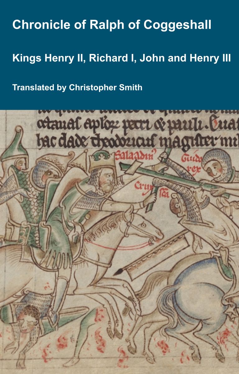
Chronicle of Abbot Ralph of Coggeshall
The Chronicle of Abbot Ralph of Coggeshall (Chronicon Anglicanum) is an indispensable medieval history that brings to life centuries of English and European affairs through the eyes of a learned Cistercian monk. Ralph of Coggeshall, abbot of the Abbey of Coggeshall in Essex in the early 13th century, continued and expanded his community’s chronicle, documenting events from the Norman Conquest of 1066 into the tumultuous reign of King Henry III. Blending eyewitness testimony, careful compilation, and the monastic commitment to record-keeping, this chronicle offers a rare narrative of political intrigue, royal power struggles, and social upheaval in England and beyond. Ralph’s work captures the reigns of pivotal figures such as Richard I and King John, providing invaluable insights into their characters, decisions, and the forces that shaped medieval rule. More than a simple annal, Chronicon Anglicanum conveys the texture of medieval life and governance, making it a rich source for scholars and readers fascinated by English history, monastic authorship, and the shaping of the medieval world.
Available at Amazon in eBook and Paperback format.
Maen Cetti, on Cefn y Bryn, in Gower, was, says ancient tradition, adored by the pagans, but St. David split it with a sword, in proof that it was not sacred; and he commanded a spring to rise under it, which rose accordingly. After this event those who previously were infidels became converted to the Christian faith. There is a Church in the vicinity, called Llanddewi, where it is said that St. David was the rector before he became consecrated a bishop, and it is the oldest Church in Gower. When, however, he became a bishop of Caerlleon-upon-Usk, he placed a man named Cennydd, the son of Aneurin, the son of Caw, in his stead at Llanddewi, who erected a Church called Llangennydd, and his brother, called Madog, made the Church of Llanmadog. (Iolo MSS. p. 473.)
This passage connects Maen Cetti with Arthur's Stone, but I am unable to say anything about its age or authority. Unfortunately the so-called collection of Manuscripts of Old Iolo is not above suspicion. As to many of them the literati of to-day are unable to trace them, and doubt their genuineness. Once the suspicion of forgery creeps in, one can be sure of nothing. The language of the passage is modern Welsh, say of Iolo's day. It may have been put down by himself as a memorandum of an old tradition he found floating in men's mouths, but it purports to be a transcript of such a memorandum, written by the hand of an antiquarian or historian of an earlier day. If it is not genuine, there is nothing yet to connect Maen Cetti and Arthur's Stone.
There are on Cefn Bryn other objects of interest besides Arthur's Stone. They do not strike the eye or fancy of the uninitiated, but yet, to the archaeologist, they give food for thought and a field for his imagination to play upon. Cams abound on this part of the hill round Arthur's Stone, especially to the S. and S.W. of it, on the summit of that spur of Cefn Bryn of which I have spoken. There are on Cam Llecharth, above Pontardawe, a cromlech (now dismantled) and a number of carns, a dozen or more in the neighbourhood, but I know of no instance where so many are scattered round a cromlech as here on Cefn Bryn. I should say it is a very unusual if not a unique instance. Sir Gardner Wilkinson made a small map of the hill—a copy of which is reproduced. He says there are upwards of eighty carns, and remarks that this " great number of carns in that locality show that it was selected as the most appropriate spot for the burial of the dead in early British times." It does indeed seem as though it had been an ancient burying place, as though, perhaps, it was an object of ambition or desire that one's bones should be near the great monument, as it was among the Jews that their last resting place should be as near as possible to the walls of the temple of Jerusalem. Sir G. Wilkinson says: " The hill has the appearance of a large cemetery, the tombs or carns of which are evidently of very great age. They are not remarkable for their size, being only from 12 to 15 feet in diameter, and of inconsiderable height, though considerably reduced in size by time and accident since they were put up; but the carn which stands about 355 feet to the west of Arthur's Stone is of much greater size and importance than the rest, measuring about 68 feet in diameter. Though it does not appear to contain a cromlech, like the neighbouring one which covered Arthur's Stone, it is little inferior to it in size; and the excavations made in its centre, if persevered in, would probably have disclosed a carn (I suppose he meant a cist) or indications of the spot where the body was burnt. A little below it, to the southward, is a hollow, evidently excavated for some purpose, about 155 feet long by 68 feet, which is filled with water in the winter but dry in summer, and this I suppose to have been made in excavating the earth required to form the great tumulus, for it is a tumulus rather than a carn, the rain of ages having washed away the earth, leaving only the stones we see there.
![]() Become a Member via our Buy Me a Coffee page to read more.
Become a Member via our Buy Me a Coffee page to read more.
Another carn or tumulus, about 560 feet to the south, is the next in size to this, and has a diameter of 20 feet. I opened it lately, but found no signs of interment beneath it. In the mass of cams on the highest part of the hill to the S.S.E., and about 1,000 feet from Arthur's Stone, is one about 30 feet long by 12 feet, remarkable for being long instead of circular, like the rest, and another may be seen in the low ground, 450 feet to the S.W. of this, of the same shape, which is unusual in this district. A few more small carns may also be seen from 750 to 800 feet to the S.W. of this, on the main ridge of Cefn Bryn, and others in various parts of the hill."
A word as to the great cam. It is clear that this rests on a natural elevation, a round hill, separated only by a small depression, from the high ground which stretches from Arthur's Stone in this direction. On the summit is a carn, that is to say, there are a number of stones raising the crest of the hill, but I think it would not be easy to say where hill ends and carn, still less tumulus, begins. Here, as elsewhere, the carn has been disturbed, that is to say, the middle of the heap has been removed and the stones have been thrown about, but nothing of interest is disclosed. This, the greatest carn on Cefn Bryn, is a small affair, compared with others as at Pant-y-ffa or Gwys. The other carns are smaller still, indeed, unusually small, as well as numerous. Though, however, they may be scorned by those who require something big to excite their imagination, to the archaeologist they are not less interesting on that account. They are the less imposing to look at from the fact that every scornful 'Arry seems to have done his best to destroy them by throwing the stones about., When will education have done its work so far as to rid the man of the destructive impulses of boyhood? But something remains to be said of the long carns to which Sir Gardner calls our attention. He does not mention the suggested explanation of the long carn, that it was the grave of the sea-rover—the Viking. The grave of the warrior was round, like the house he dwelt in: it was his house or home after death. So the carn, or grave, of the Viking who lived in a boat was long, like the ship itself: his home after death. If this is the true explanation, then it is probable that these long graves are those of Vikings—Norsemen or Icelanders—who invaded the peninsula and lost their lives in battle. If so an approximate date, within a few centuries, may be given to their erection. Will this enable us to assign a date also to the rest, at least to say that they would be not earlier than the seventh, nor later than the twelfth century?
![]() Become a Member via our Buy Me a Coffee page to read more.
Become a Member via our Buy Me a Coffee page to read more.
Again I ask, does Welsh literature assist us, or refer at all to these graves? I cannot say yes or no. There is a passage which may or may not have reference to them, and to these identical long graves. I mean the poem called " Englynion y Beddau," or Verses of the Graves. It is undoubtedly very old; it is found in our oldest manuscript, the Black Book of Carmarthen, written probably in the latter part of the twelfth century. That book is a compilation, and gives us, not the date when the poem was written, but before which it must have been written. It is ascribed to Aneurin. It presents a difficulty inherent in the name of Gower. The Welsh word for Gower was often, as it is to-day, spelt as the Welsh word for men, gwyr, and it is not always, as in this instance, possible to determine whether it means the one or the other. The verses of the poem I refer to run as follows:—
"Bet gurgi gvychit a gwindodit
lev a bet llaur llu ovit
yg guarthaw guanas guyr yssit.
"Y beteu hir yg guanas
ny chauas ae dioes
pvy vynt vy pvy eu neges.
"Teulu Oeth ac Anoeth a dynu
y noeth yeu gur yeu guas
Ae ceissio vy elated guanas."
"The grave of Gurgi a hero and a Gwindodian lion, and the grave of Llawr, the regulator of hosts; in the upper part of Guanas the men are.
"The long graves in Guanas, their history is not had, whose they are and what their deeds."
There has been the family of Oeth and Anoeth. Naked are their men and their youth. Let him who seeks for them dig in Guanas."
![]() Become a Member via our Buy Me a Coffee page to read more.
Become a Member via our Buy Me a Coffee page to read more.
Such is Skene's translation in his "Four Ancient Books of Wales." He renders Gwyr as men: "In the upper part of Guanas the men are." But if Gwyr is translated Gower the passage is more interesting to us: "The grave of Gurgi, etc., and the grave of Llawr, etc., are in the upper part of the Guanas of Gower. The long graves of Guanas, it is not known whose they are. The family of Oeth and Anaoeth, let him who seeks them dig in Guanas." The word Guanas means, I believe, a thing that stretches across, like the tongue of a buckle, and may not inaptly be applied to Cefn Bryn which stretches across Gower, and may well be called the Guanas of Gower; but I do not know that the name appears anywhere else. One other remark should be made: that the word Guyr is written as an interlineation in the Black Book of Carmarthen, but whether as an interpolation or not I cannot say. From the facsimile copy I should say not.
A little river called the Burri runs into the Loughor estuary, taking its rise below Cefn Bryn. In a poem attibuted to Myrddin of battles, occur the lines:—
" Cat a vi ar byrri afon
A brython dyworpi
Gnawd gvvyr guhyr gwrhydri."
I cannot give a correct translation of it, but it refers to a battle on the river Burri and the blood of the men of valour of Gower. This, however, would probably not be the only battle that would have supplied corpses for a great burial ground in Gower, though the massacres of the Norman invasions and conquest, unequalled elsewhere in Wales, would probably be too late for carns on Cefn Bryn. There are also on Cefn Bryn some circles, which are not without interest. Sir Gardner Wilkinson says:—" About 1,180 feet S.S.E. of Arthur's Stone is an enclosure, which on Dartmoor would be called a ' pound,' once the abode of some of the ancient people who inhabited this wild district and whose tombs occupy so large a portion of the hill. It is about 63 feet in diameter, and within it are vestiges of small circular huts, one side frequently resting against the wall of the enclosure which, like the huts, was mostly built of small rough stones," and " I observed two other enclosures about 70 feet apart, a little more than an eighth of a mile to the north-west of Arthur's Stone, once the abode of some of the same people who built similar enclosures on Rosili Down, on Llanmadoc Hill and in other parts of southern Gower; another stands on a part of the same line of hill to the westward, from which it is separated by a ravine. It is about 1,120 feet west of Arthur's Stone. Here the huts that once stood within it are marked by heaps of small stones, and judging from similar heaps in other enclosures I believe they constituted the domed roofs of circular huts, constructed like the modern ovens of the country, with small stones, but cemented together with clay in default of the mortar of later times."
![]() Become a Member via our Buy Me a Coffee page to read more.
Become a Member via our Buy Me a Coffee page to read more.
The better way to visit these is to take them in another order. Leaving the great carn and passing a short distance to the north-west, in a hollow facing the north, are the apparent remains of two huts. These are marked Q and P on Sir Gardner Wilkinson's plan. They are too dilapidated to allow one to form any decided opinion about them, but I confess they struck me as being square rather than circular, and the eastern one—"Q"—as being probably sunk in the ground. They may be ancient hut enclosures, or the remains of more modern shepherds' huts.
A couple of hundred yards further to the north west, beyond the valley or gorge, and on the hillside facing east "N," is a circle of about 30 feet diameter. It is surrounded by a wall or mound, and there are a number of loose stones scattered all over the surface inside. It is not a mere hut circle, it is too large for that. Sir G. Wilkinson speaks of huts within it, marked by heaps of small stones. I confess I cannot follow him here. The wall must have been higher and these must be the stones, I think, of which it was built. I do not believe that the bee-hive huts, of which there are still a few specimens existing, one at least on Dartmoor, were roofed with stones, small and round, like these—merely stuck together with clay—but with flat stones, each layer resting chiefly on the layer below, but overlapping on the inner side. Of course the interstices were filled in with clay or earth, not, however, so much to bind them together as to keep out the wind. I see no signs whatever of bee-hive huts here, nor have I seen any in Gower. This may be an ancient pound with huts, of which no traces remain, or it may be a more modern enclosure. The entrance was on the eastern side.
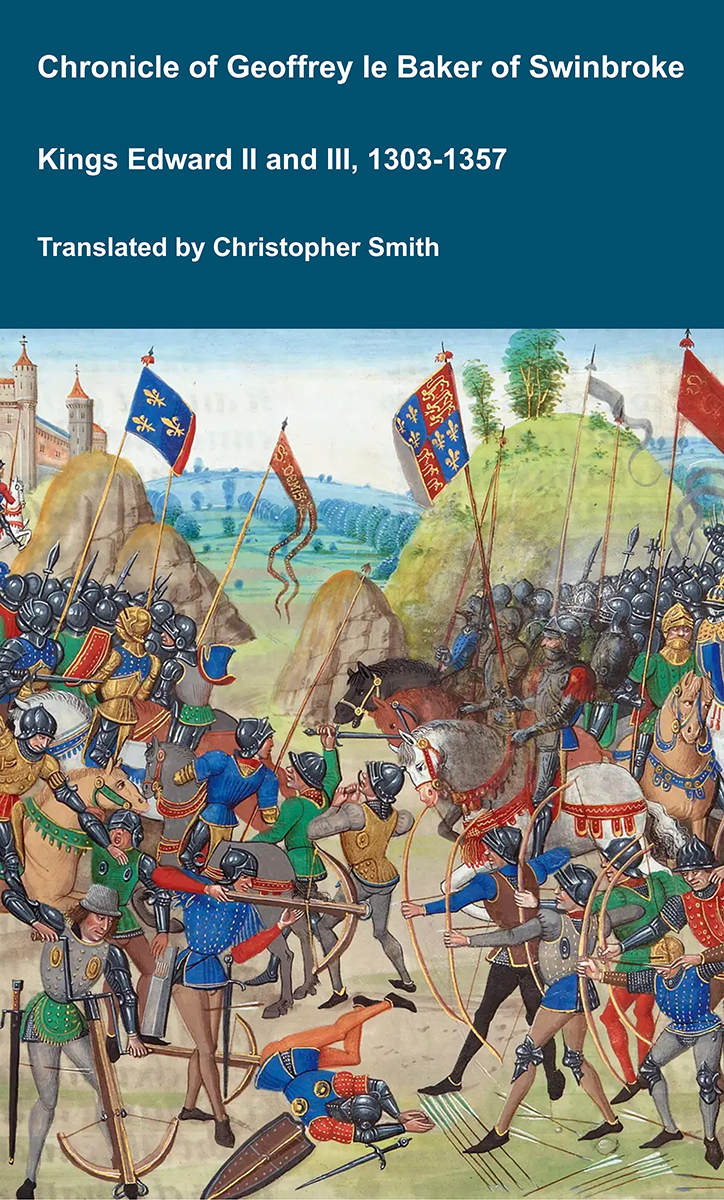
Chronicle of Geoffrey le Baker of Swinbroke
Baker was a secular clerk from Swinbroke, now Swinbrook, an Oxfordshire village two miles east of Burford. His Chronicle describes the events of the period 1303-1356: Gaveston, Bannockburn, Boroughbridge, the murder of King Edward II, the Scottish Wars, Sluys, Crécy, the Black Death, Winchelsea and Poitiers. To quote Herbert Bruce 'it possesses a vigorous and characteristic style, and its value for particular events between 1303 and 1356 has been recognised by its editor and by subsequent writers'. The book provides remarkable detail about the events it describes. Baker's text has been augmented with hundreds of notes, including extracts from other contemporary chronicles, such as the Annales Londonienses, Annales Paulini, Murimuth, Lanercost, Avesbury, Guisborough and Froissart to enrich the reader's understanding. The translation takes as its source the 'Chronicon Galfridi le Baker de Swynebroke' published in 1889, edited by Edward Maunde Thompson.
Available at Amazon in eBook and Paperback format.
Recrossing the gorge in an almost due easterly direction, until we are due north of Arthur's Stone, are two circles, which appear to me to be true hut circles, or to bear a nearer resemblance to them than to any others on Cefn Bryn. "N and O." It would be interesting to make a careful examination of these enclosures. It would not be necessary to do much more than remove the sod to learn whether they present the usual features of hut circles elsewhere, but this should be done by someone who knows what to look for, so as to preserve those features if they exist. They are small circles, too much overgrown and dilapidated to allow of more being said about them now.
The other circle or pound of which Sir Gardner speaks is 600 yards to the south of these, 400 yards to the south (not S.S.E) of Arthur's Stone—"L." This is like the first pound we mentioned, surrounded by a wall or mound. It is about 60 feet in diameter, but the wall is so broken and knocked about that it is not easy in some places to say exactly what line it took. When I visited this pound a couple of years ago it was in fairly good order and condition, and there were signs of hut circles about it. I am sorry to say that it has recently been robbed and its interest almost entirely destroyed by some Goths who have been digging in it for stones, presumably to break up and make the roads. With all this profusion of stone and rock that is to be had for the trouble of working out of the ground, with a quarry a couple of hundred yards away, it is heartrending to think of the wanton destruction of an ancient remain such as this—only a few years ago the best of its kind in this interesting locality. Objects of antiquarian interest such as these, honoured and carefully preserved, may be visited by tourists not from this Island only, but from distant lands as well, and may be a source of wealth to the neighbourhood that possesses them. To mutilate them is to destroy them, and it is a crime, whether it proceeds from the greed and parsimony of a contractor or the ignorant brutality of uneducated boors from town or country.
Sir Gardner Wilkinson calls attention to two other circles, marked "I" and "J" on his map. These are of a different character from the pounds and the hut-circles. They are stone circles—or symbolical circles—not enclosures, but formed of stones set some distance apart. They do great honour to Sir Gardner's assiduity of search and his power of observation. I will not say that they are not circles, but they are so small as to be scarcely recognisable, even when attention is called to them.
I was struck by an arrangement of stones in the ground near "I," and again in one other place, nearer one of the long graves, of an elliptical form, such as I have not seen elsewhere; nor do these appear to have attracted notice. Yet I cannot help thinking they are the result of design, and unusual.
Sir G. Wilkinson detects in five stones which run along the eastern side of the road of approach to Arthur's Stone the remains of an avenue or alignment of stones such as those at Carnac in Britanny, or on Dartmoor. I confess I cannot go with him here at all. He says they run nearly east and west, as certainly do those at Carnac—but, as a fact, indeed as shown on his map, they run S.E. and N.W. It is true they are nearly in a straight line, but they are at intervals of 165, 79, 149 and 107 feet from each other. They are too few, too far apart, too irregular, too meaningless to show at all conclusively that they were placed where they are by the hand of man with any design—still less the design of an alignment similar to those on Dartmoor. There they are found almost invariably running uphill, from running water, and very often from a hut-circle to a symbolical circle, or a maen-hir. So frequently, indeed, does this occur as to lend great probability to the beautiful and poetical idea of Colonel Morgan, that hey were intended to represent man's upward course from this temporary home below, represented by the hut-circle at the bottom of the hill, to his eternal home above, represented by the symbolical circle—ever an emblem of eternity—or the maen-hir, pointing upwards at the upper end. There would have been no difficulty in following the same plan here. The ground slopes up from running water on the N.W, N. and N.E. sides to Arthur's Stone. These are on ground which is nearly level, but slopes, if at all, down to the cromlech. The only alignment I have seen in Wales, that near the maen-fawr in Breconshire, though diminutive to insignificance in the size of the stones, presents the features I have named, the hut- circle at the lower end alone being absent. I cannot see with Sir Gardner Wilkinson any alignment of stones on Cefn Bryn. I believe someone has observed an alignment or avenue of cairns on Cefn Bryn. I have not detected it.
![]() Become a Member via our Buy Me a Coffee page to read more.
Become a Member via our Buy Me a Coffee page to read more.