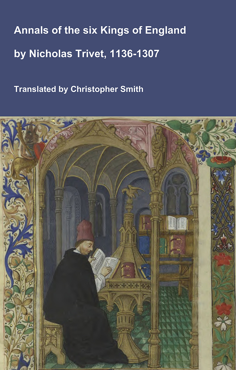
Annals of the six Kings of England by Nicholas Trivet
Translation of the Annals of the Six Kings of England by that traces the rise and rule of the Angevin aka Plantagenet dynasty from the mid-12th to early 14th century. Written by the Dominican scholar Nicholas Trivet, the work offers a vivid account of English history from the reign of King Stephen through to the death of King Edward I, blending political narrative with moral reflection. Covering the reigns of six monarchs—from Stephen to Edward I—the chronicle explores royal authority, rebellion, war, and the shifting balance between crown, church, and nobility. Trivet provides detailed insight into defining moments such as baronial conflicts, Anglo-French rivalry, and the consolidation of royal power under Edward I, whose reign he describes with particular immediacy. The Annals combines careful year-by-year reporting with thoughtful interpretation, presenting history not merely as a sequence of events but as a moral and political lesson. Ideal for readers interested in medieval history, kingship, and the origins of the English state, this chronicle remains a valuable and accessible window into the turbulent world of the Plantagenet kings.
Available at Amazon in eBook and Paperback format.
Elstub Hundred, Wiltshire is in Wiltshire.
The Wiltshire River Avon is formed from the confluence of the River Avon West, Wiltshire and River Avon East, Wiltshire one kilometre before Upavon, Wiltshire [Map] after which it flows broadly south past East Chisenbury, Wiltshire [Map], Enford, Wiltshire [Map], Fifield, Wiltshire [Map], Fittleton, Wiltshire [Map], Netheravon, Wiltshire [Map], Figheldean, Wiltshire [Map], Durrington Walls, around Amesbury, Wiltshire [Map] and past Amesbury Abbey, Wiltshire [Map], Wilsford, Wiltshire [Map], Great Durnford, Wiltshire [Map], Middle Woodford, Wiltshire [Map], Little Durnford, Wiltshire [Map], Old Sarum [Map], Stratford sub Castle, Wiltshire [Map], through Salisbury where it is joined by the River Nadder
After Salisbury the Wiltshire River Avon flows south in multiple channels past Longford Castle, Wiltshire [Map], after which it is joined by the River Eble, then Charlton-All-Saints, Wiltshire [Map], Downton, Wiltshire [Map], Breamore, Hampshire [Map], Burgate, Hampshire [Map], Fordingbridge, Hampshire [Map], Bickton, Hampshire [Map], Ibsley, Hampshire [Map], Ringwood, Hampshire [Map], Bistern, Hampshire [Map], Sopley, Hampshire [Map], Avon, Dorset [Map] and Christchurch, Dorset [Map] before reaching Christchurch Harbour where it joins the English Channel.
In 1371 Thomas Astley was born to Thomas Astley (age 28) in Everleigh, Wiltshire.
In 1501 Thomas Astley was born to Richard Astley (age 26) in Everleigh, Wiltshire. He married in or before 1530 his fifth cousin once removed Mary Talbot and had issue.
The Wiltshire River Avon is formed from the confluence of the River Avon West, Wiltshire and River Avon East, Wiltshire one kilometre before Upavon, Wiltshire [Map] after which it flows broadly south past East Chisenbury, Wiltshire [Map], Enford, Wiltshire [Map], Fifield, Wiltshire [Map], Fittleton, Wiltshire [Map], Netheravon, Wiltshire [Map], Figheldean, Wiltshire [Map], Durrington Walls, around Amesbury, Wiltshire [Map] and past Amesbury Abbey, Wiltshire [Map], Wilsford, Wiltshire [Map], Great Durnford, Wiltshire [Map], Middle Woodford, Wiltshire [Map], Little Durnford, Wiltshire [Map], Old Sarum [Map], Stratford sub Castle, Wiltshire [Map], through Salisbury where it is joined by the River Nadder
After Salisbury the Wiltshire River Avon flows south in multiple channels past Longford Castle, Wiltshire [Map], after which it is joined by the River Eble, then Charlton-All-Saints, Wiltshire [Map], Downton, Wiltshire [Map], Breamore, Hampshire [Map], Burgate, Hampshire [Map], Fordingbridge, Hampshire [Map], Bickton, Hampshire [Map], Ibsley, Hampshire [Map], Ringwood, Hampshire [Map], Bistern, Hampshire [Map], Sopley, Hampshire [Map], Avon, Dorset [Map] and Christchurch, Dorset [Map] before reaching Christchurch Harbour where it joins the English Channel.
Lidbury Camp, Wiltshire is also in Iron Age Hill Forts Wiltshire.
Lidbury Camp, Wiltshire [Map]. From Historic England: The monument comprises a possible barrow together with Iron Age and Romano-British occupation associated with Lidbury Camp and its related trackways.
Wiltshire Archaeological Magazine 1885 V22 Pages 234-238. "The manoeuvres of the day being interrupted by the heavy fall of earth, I left Marden and ascended the chalk hills. The eye is caught by the remains of an ancient earthen work on the summit of the hill overlooking this fine vale. It is called Broadbury, Brodbury, &c., &c. It has been much mutilated by chalk pits. It is single ditched — similar square excavations (containing fragments of the oldest pottery) to those on Cotley Hill, near Warminster, have been found here.
"These works are situated very near the great Ridgeway — see my map of Wilts. Turned off on the left, and continued my ride along it to Casterley Camp [Map]. Casterley much changed in its appearance, having been lately ploughed up. Nunc seges est ubi Troja fuit [Now the harvest is where Troy was]. Thence crossed the vale of Avon at Chisenbury, once the site of a priory. My trackway led me straight to the perfect little square work called Sidbury [Map]. Great British excavations in its neighbourhood. Saw on my right the beautiful twin barrows — before drawn and noticed. One remains to be opened. 'Par nobile fratrum [A noble pair of brothers].' Returned to Everley gratified and benefitted, as usual, by my ride amongst the Britons.
The Wiltshire River Avon is formed from the confluence of the River Avon West, Wiltshire and River Avon East, Wiltshire one kilometre before Upavon, Wiltshire [Map] after which it flows broadly south past East Chisenbury, Wiltshire [Map], Enford, Wiltshire [Map], Fifield, Wiltshire [Map], Fittleton, Wiltshire [Map], Netheravon, Wiltshire [Map], Figheldean, Wiltshire [Map], Durrington Walls, around Amesbury, Wiltshire [Map] and past Amesbury Abbey, Wiltshire [Map], Wilsford, Wiltshire [Map], Great Durnford, Wiltshire [Map], Middle Woodford, Wiltshire [Map], Little Durnford, Wiltshire [Map], Old Sarum [Map], Stratford sub Castle, Wiltshire [Map], through Salisbury where it is joined by the River Nadder
After Salisbury the Wiltshire River Avon flows south in multiple channels past Longford Castle, Wiltshire [Map], after which it is joined by the River Eble, then Charlton-All-Saints, Wiltshire [Map], Downton, Wiltshire [Map], Breamore, Hampshire [Map], Burgate, Hampshire [Map], Fordingbridge, Hampshire [Map], Bickton, Hampshire [Map], Ibsley, Hampshire [Map], Ringwood, Hampshire [Map], Bistern, Hampshire [Map], Sopley, Hampshire [Map], Avon, Dorset [Map] and Christchurch, Dorset [Map] before reaching Christchurch Harbour where it joins the English Channel.
The River Avon West, Wiltshire rises around All Cannings, Wiltshire [Map] in the Vale of Pewsey being formed from many streams from where it flows past Patney, Wiltshire [Map], around Marden Henge aka Hatfield Earthworks [Map] and Wilsford Henge [Map], Rushall, Wiltshire [Map] where it joins the River Avon East, Wiltshire to form the Wiltshire River Avon.
Weather Hill Long Barrow is also in South England Neolithic Burials.
Wiltshire Archaeological Magazine 1913 V38 Pages 379-414. Fittleton.1 5. [Weather Hill Long Barrow [Map]] On Weather Hill, S. of Everley and W of the old Marlborough — Salisbury Road. Length about 150ft. N.E. and S.W. Opened by Thurnam, who does not seem to have published any account of the excavations beyond that in the summary list in Arch. xlii. The following entry, however, appears in the MS. Cat.: — "255. Ancient British. Part of a very dolichocephalic calvarium obtained from the north broad end of a long barrow on Fittleton Down, near Chidbury Camp, Oct. 6, 1866. The barrow had been previously disturbed. There were indications of one skull only, and that apparently a female. Remains of bos longifrons and horns of Cervus elaphus? scattered."
The barrow stands on an uncultivated down in good condition with well defined ditches. It shows where it has been dug into, no doubt by Thurnam. This barrow is referred to by Thurnam as "Fittleton."2 O.M. 48 N W.; A. W. I. Map of Everley Station; Arch. xlii. 180; MS. Cat. No. 255.
For Long Barrows in Fittleton parish now destroyed see end of this list.
Note 1. This is not the barrow opened by Wm. Cunnington in 1851, referred to in W.A.M. xxviii. 172. For that see below, List of barrows now destroyed, under Fittleton.
Note 2. Hoare shows two Long Barrows lying near each other on Weather Hill but there is no trace of the second barrow to be found now, and only one is shown on the O.M. As the down does not appear to have been under recent cultivation this was possibly an error of Hoare's.