Text this colour is a link for Members only. Support us by becoming a Member for only £3 a month by joining our 'Buy Me A Coffee page'; Membership gives you access to all content and removes ads.
Text this colour links to Pages. Text this colour links to Family Trees. Place the mouse over images to see a larger image. Click on paintings to see the painter's Biography Page. Mouse over links for a preview. Move the mouse off the painting or link to close the popup.
Derbyshire River Wye is in River Derwent.
The Derbyshire River Wye rises at Axe Edge Moor, Derbyshire [Map] after which it travels broadly south-west through Buxton, Derbyshire [Map], Millers Dale, Derbyshire [Map], Cressbrook, Derbyshire [Map], Ashford-in-the-Water, Derbyshire [Map], Bakewell, Derbyshire [Map] and Haddon Hall, Derbyshire [Map] to Rowsley, Derbyshire [Map] where it joins the River Derwent.
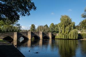
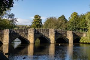
1350. Bakewell Bridge, Derbyshire [Map] is stone arch bridge spanning the Derbyshire River Wye. The bridge dates back to the 14th century and was constructed using ashlar gritstone.
The River Lathkill rises near Monyash, Derbyshire [Map] flowing through Lathkill Dale, Derbyshire [Map], where there are a number of seasonal springs, to Conksbury Bridge, Derbyshire [Map] then Alport, Derbyshire [Map] where it is joined by the River Bradford. After Alport, Derbyshire [Map] the River Lathkill flows east to a point around 600m south of Haddon Hall, Derbyshire [Map] where it joins the Derbyshire River Wye.
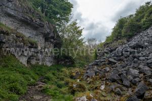
Lathkill Dale, Derbyshire [Map], in which the River Lathkill flows, extends from Monyash, Derbyshire [Map] to Alport, Derbyshire [Map] where the River Lathkill is joined by the River Bradford.
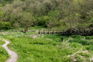
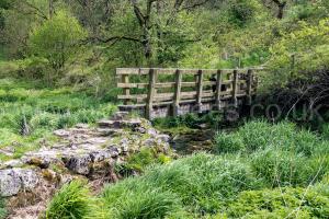
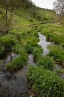
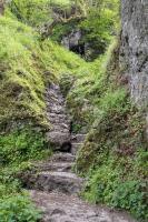
The River Bradford rises at Middleton-by-Youlgreave, Derbyshire [Map] from where it flows to Alport, Derbyshire [Map] where it joins the River Lathkill.