Text this colour is a link for Members only. Support us by becoming a Member for only £3 a month by joining our 'Buy Me A Coffee page'; Membership gives you access to all content and removes ads.
Text this colour links to Pages. Text this colour links to Family Trees. Place the mouse over images to see a larger image. Click on paintings to see the painter's Biography Page. Mouse over links for a preview. Move the mouse off the painting or link to close the popup.
All About History Books
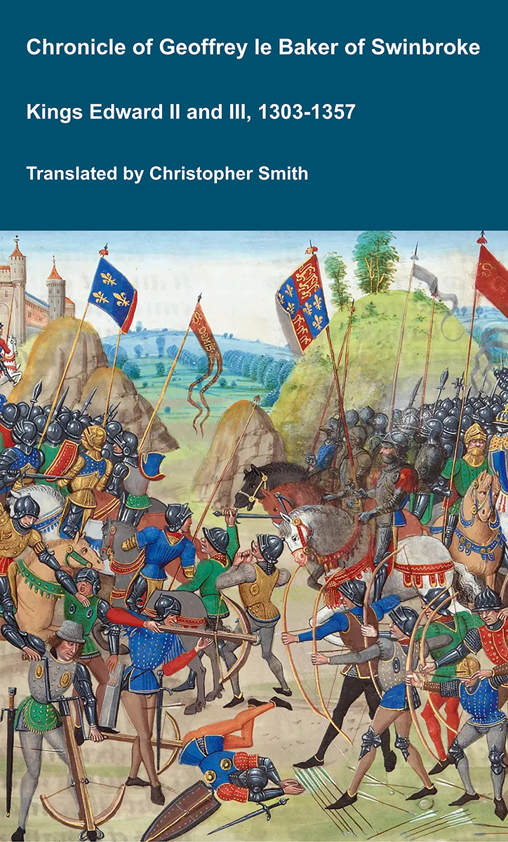
The Chronicle of Geoffrey le Baker of Swinbroke. Baker was a secular clerk from Swinbroke, now Swinbrook, an Oxfordshire village two miles east of Burford. His Chronicle describes the events of the period 1303-1356: Gaveston, Bannockburn, Boroughbridge, the murder of King Edward II, the Scottish Wars, Sluys, Crécy, the Black Death, Winchelsea and Poitiers. To quote Herbert Bruce 'it possesses a vigorous and characteristic style, and its value for particular events between 1303 and 1356 has been recognised by its editor and by subsequent writers'. The book provides remarkable detail about the events it describes. Baker's text has been augmented with hundreds of notes, including extracts from other contemporary chronicles, such as the Annales Londonienses, Annales Paulini, Murimuth, Lanercost, Avesbury, Guisborough and Froissart to enrich the reader's understanding. The translation takes as its source the 'Chronicon Galfridi le Baker de Swynebroke' published in 1889, edited by Edward Maunde Thompson. Available at Amazon in eBook and Paperback.
Denbigh Town Walls
Denbigh Town Walls is in Denbigh Castle and Town Walls [Map].
Exchequer Gate
Only the foundations of the Exchequer Gate [Map] on the western side of the walls remain but the gatehouse would originally have been protected by two circular towers.
Burgess Gate
The Burgess Gate [Map] has two circular towers protecting a vaulted passage way. It is built from white limestone and yellow sandstone, with the stonework forming a chequered design; this was a common decorative approach at the time. The top courses have been lost, the gatehouse might originally have stood up to 18m tall.


1800. Unknown Painter. Watercolour entitled Denbigh, of a ruin and street scene. Attributed to John Paget 1811-1898. Probably the rear of the Burgess Gate [Map].

Chester Archaeological and History Society 1856 Page 48. Burgess Gate [Map] at Denbigh Castle.
Wall Burgess Gate to Entrance

Section of the Wall [Map] from the Burgess Gate [Map] to the Current North Entrance [Map].
Current North Entrance
The Current North Entrance [Map] is padlocked. The key can be obtained from the castle shop for which a deposit is required.


Wall Entrance to North-Eastern Tower
Section of the Wall [Map] from the Entrance [Map] to the North-Eastern Tower [Map].


North-Eastern Tower
The North-Eastern Tower [Map] is a two-storey tower of which most remains. It protects a point at which the walls turn through an angle.


Wall North-Eastern Tower to Countess Tower
All About History Books
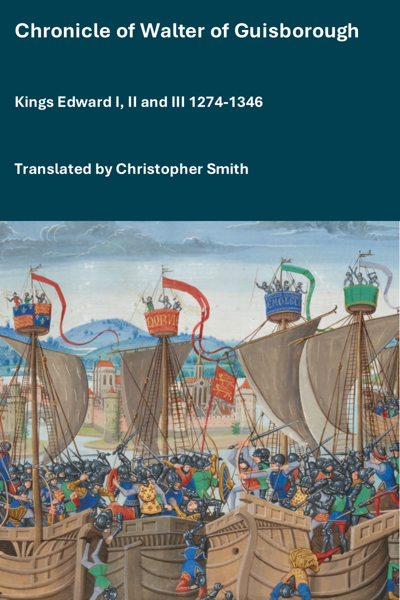
The Chronicle of Walter of Guisborough, a canon regular of the Augustinian Guisborough Priory, Yorkshire, formerly known as The Chronicle of Walter of Hemingburgh, describes the period from 1066 to 1346. Before 1274 the Chronicle is based on other works. Thereafter, the Chronicle is original, and a remarkable source for the events of the time. This book provides a translation of the Chronicle from that date. The Latin source for our translation is the 1849 work edited by Hans Claude Hamilton. Hamilton, in his preface, says: "In the present work we behold perhaps one of the finest samples of our early chronicles, both as regards the value of the events recorded, and the correctness with which they are detailed; Nor will the pleasing style of composition be lightly passed over by those capable of seeing reflected from it the tokens of a vigorous and cultivated mind, and a favourable specimen of the learning and taste of the age in which it was framed." Available at Amazon in eBook and Paperback.
Section of the Wall [Map] from the North-Eastern Tower [Map] to the Countess Tower [Map].


Countess Tower

Countess Tower [Map] and Goblin Tower [Map] Plan according to L. Butler.
The Countess Tower [Map] was a complex of two four-sided corner towers and a small two-storey building on their southern side. The northern tower of this complex was extended entirely beyond the perimeter of the walls, at least two-storey and equipped inside, in the south-east corner with a fireplace. The eastern tower was larger, also heated by a fireplace on the lower floor, but it only slightly protruded beyond the face of the wall.


Wall Countess Tower to Goblin Tower
Wall [Map] Section between the Countess Tower [Map] and Goblin Tower [Map].


Goblin Tower
Exterior of the Goblin Tower [Map]


The Goblin Tower [Map] was a polygonal tower, protruding beyond the perimeter of the wall on a rocky cliff. It was 15 meters high (21 meters above the rock slopes on the outer side) and had large buttresses reaching 5 meters from the north. Inside, a narrow stone staircase led to the lower floor with the well. The upper floor was accessible by the staircase at the northern wall. It housed a fireplace with a cleverly placed smoke escape shaft. The section of the massive outer wall that connected the Goblin and Countess towers had two levels of arrowslits: the upper one accessible from the crown of the defensive walkway and the lower at the path between the towers. To the south of the Goblin Tower, the defensive walk-wall reached another wicket gate, secured by a small drawbridge, connecting to the main perimeter of the town walls. The next strengthening of the perimeter of the walls was the semi-cylindrical southern tower (Bastion Tower), located at a fairly distant distance, right next to the defensive walls of the castle. Originally, it had three or four floors and a checkered decoration made of yellow sandstone, similar to the Burgess Gate.


Stairs leading to the Well at the bottom of the Goblin Tower [Map].


Chester Archaeological and History Society 1856 Page 48. Goblin Tower [Map] at Denbigh Castle.

Chester Archaeological and History Society 1856 Page 48. The Goblin Tower [Map]. Denbigh Castle.
Unamed Gate
The walls are further protected by an Unamed Gate [Map] which would originally have had a drawbridge over which steps are now constructed.


Current South Entrance
All About History Books
The Chronicle of Geoffrey le Baker of Swinbroke. Baker was a secular clerk from Swinbroke, now Swinbrook, an Oxfordshire village two miles east of Burford. His Chronicle describes the events of the period 1303-1356: Gaveston, Bannockburn, Boroughbridge, the murder of King Edward II, the Scottish Wars, Sluys, Crécy, the Black Death, Winchelsea and Poitiers. To quote Herbert Bruce 'it possesses a vigorous and characteristic style, and its value for particular events between 1303 and 1356 has been recognised by its editor and by subsequent writers'. The book provides remarkable detail about the events it describes. Baker's text has been augmented with hundreds of notes, including extracts from other contemporary chronicles, such as the Annales Londonienses, Annales Paulini, Murimuth, Lanercost, Avesbury, Guisborough and Froissart to enrich the reader's understanding. The translation takes as its source the 'Chronicon Galfridi le Baker de Swynebroke' published in 1889, edited by Edward Maunde Thompson. Available at Amazon in eBook and Paperback.

The Current South Entrance [Map] is somewhat harder to find that the Current North Entrance [Map] being surrounded by trees.
Path to South Entrance

The Path [Map] to the Current South Entrance [Map] is next to the Castle car-park through an opening in what remains of the Wall where it turns down towards the Unamed Gate [Map].
Bastion Tower

The Bastion Tower [Map] was originally three storeys tall and was decorated with chequered sandstone and limestone in a similar fashion to the Burgess Gate.